
Our fleet totalled six boats. We were advancing on open water.
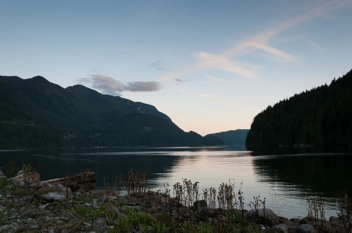
Deep Cove was behind us. The sun was pitiless. There was steep forested rock on both sides of the wide channel. This was Indian Arm, a fjord less than an hour’s drive from UBC.
We were canoeing across this expanse of water, camping cargo stored in our boats. We had stopped to take a break, drifting, and one of the guys in our group started yelling. He was screaming words like “incredible” and “awesome” and “amazing.” He was pretty loud, but his voice didn’t reach far. He encouraged us, too, to find adjectives for the landscape. I tried to think of one for a while, but ended up saying nothing.“Beautiful” just didn’t cut it.
Several kilometers north we heard a waterfall. We stopped there, at Silver Falls, to explore.
![['']](https://storage.googleapis.com/ubyssey/media/renditions/DOE_Journey_2014-0014_cropped.original.jpg)
We could hardly hear each other over the falls. After tying our boats to protruding branches and rocks, we walked barefoot on wet stones to a log that had fallen over the plunge pool.
We didn’t stay long. Soon we were back on the water, heading to our first and furthest campsite: Granite Falls, almost 17 kilometers from Deep Cove. We set up our tents — temporary waterfront property — and climbed up Granite Falls in the evening. There’s a rock staircase to the immediate right of the waterfall, where you can hike up high and sit with the sound of the water.
![['']](https://storage.googleapis.com/ubyssey/media/renditions/DOE_Journey_2014-0066.original.jpg)
From Granite Falls, we canoed South to Bishop Creek for our next stay, and further, the next day, to Twin Islands. Soon after our departure on the third day, the Buntzen No. 2 power plant rose on our left. This structure is about a hundred years old, is remote controlled from Burnaby, and is still functional, apparently. Windows boarded, green walls — it doesn’t look like anybody works there — and I can see why. It’s truly intimidating, especially from the water.
![['']](https://storage.googleapis.com/ubyssey/media/renditions/DOE_Journey_2014-0233.original.jpg)
There are signs everywhere warning people not to approach the power plant. So of course, we docked there for a while (arrest me now). Some post-trip Googling tells me the currents released from the plant can be dangerous. I’m not sure why there’s a dock there.
Twin Islands was not far from the plant. It is the closest campsite to Deep Cove, and this must be what makes it popular. This, and that it’s heavily wooded. There were probably forty people there on the night we camped. Less cozy than crowded. Beware the outhouses.
![['']](https://storage.googleapis.com/ubyssey/media/renditions/DOE_Journey_2014-0254.original.jpg)
I was brushing my teeth that night when our camp leader, Barry, called us down to the dock. It was dark and the water was black. Stars and the distant glow of Deep Cove barely lit our way. Barry was kneeling next to the water. We crouched by him. He put his hand in the water and stirred it around.
The water lit up — blue and glowing and luminescent before petering out into black. Barry stuck a paddle in the water and we saw this momentary phosphorescence again. This was some Life of Pi stuff.
In the morning, we loaded the canoes for the last time and set out for Deep Cove.
![['']](https://storage.googleapis.com/ubyssey/media/renditions/DOE_Journey_2014-0247.original.jpg)
I would say we took the scenic route back, but pretty much any route is the scenic route on Indian Arm. We paddled by Racoon Island and around Jug Island, becoming well acquainted with the wildlife of the area. A seal, baking on a bed of barnacles. Starfish on rock walls. Sea gulls.
Unfortunately, we didn’t have the time or resources left to visit everything along Indian Arm. I’m kind of glad, though — it gives me an excuse to go back.